Posts

Showing posts with the label Hike

Circular hike around the slopes of the Moelwyns

Image
4 mile hike skirting across the slopes of the Moelwyns, using a very convenient old tramway bed. The start point from the road is already quite high, which makes the onward ascent towards Moelwyn Mawr much easier. Old tramway Parking is roadside on the gated minor road between Tan-y-Bwlch and Croesor , uphill from the entrance to Penrallt (farm). Parking at roadside summit of minor road                                        What to bring Wear stout footwear, and expect it to be boggy in places. Bring a packed lunch, which we can eat while resting high up on the tramway, whilst admiring the sweeping view down to Croesor. Moelwyn Bach Head of the incline Obstacles: There is only a one low stile, high up on Moelwyn Mawr and about half way round the route. Contemplating the stile on Moelwyn Mawr The ascent is a long steady slo...

Short (steep) walk in Cwm Pennant

Image
Short and initially steep walk (of only 2 miles) up through woodland to reach the restored Cwm Cypwrth copper mine. Inspecting the old copper-mining equipment The riverside pool is a great place for paddling and picnicing (so maybe arrive early with a picnic ?!!!) Riverside parking place, excellent for a picnic and a paddle Parking place (and starting point for walk) is here: https://goo.gl/maps/i9hsg8FSQGJ2 The first 200 yards are across a sheep pasture - (so dogs on leads!). There are two substantial post-and rail stiles, (which may need a bit of dog-lifting assistance for the less agile!), but no other sgnificant obstacles. One of the two stiles encountered en route The short ascent through the woodland is by a reasonably steep stony path, though there are several points for a rest on the way up. At one point the route currently diverts around a fallen tree. There is a good viewpoint for a proper rest after the second stile, so time to take a break and a...

Hike - Cwm Teigl circular, near Llan Ffestiniog

Image
Cwm Teigl, in the shadow of Manod Mawr Short 3.5 mile hike along the route of the ancient roadway that once ran from Llan Ffestiniog through Cwm Teigl to Betws-y-Coed, in the shadow of Manod Mawr. Return by the path alongside Afon Gamallt, passing Hafod Ysbyty , which was once a 16th Century travellers' hospice. Limited roadside parking near the Horeb Chapel , or at various points further along Cwm Teigl. The first stretch along the lane from Horeb Chapel will need to be on lead, as it runs through some sheep pastures.No significant obstacles, mostly shallow gradients, though there is one short steep gradient linking the outbound route to the return route.                               

Walk - Slopes & forestry of Moelwyn Bach to Llyn-y-Garnedd

Image
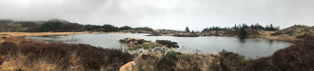
Moderate 3.5 mile dog walk skirting across the slopes and forestry of Moelwyn Bach, using some good stone-surfaced forestry roadways. Llyn-y-Garnedd Uchaf Paddling Llyn-y-Garnedd Isaf Llyn-y-Garnedd Isaf is a good halfway point for a break. A bit of shelter at lunchtime! Parking is free at Tan-y-Bwlch Station (Ffestiniog Railway) Car Park. There are no stiles, three pedestrian gates, and a couple of pole barriers to duck under. The ascent is a long steady easy gradient, and the going is fairly even. There are usually no sheep grazing this section of forestry, so plenty opportunity to be off lead. The Cafe and Toilets at Tan-y-Bwlch Station are only open in season, when the trains are running.  The Oakley Arms is at the bottom of the hill, by the A487, and there are Public Toilets opposite, by the bus shelter. Directions : From A487 at Maentwrog, take the B4410 uphill from the Oakley Arms to Tan-y-Bwlch Station. Tan-y-Bwlch Station is well signpos...